Congressional Maps Still Being Debated
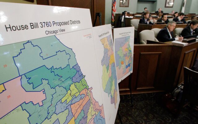
The Illinois General Assembly Wednesday focused on the new congressional maps drawn by Democrats and blasted by Republicans as blatant gerrymandering. The proposed lines would give Democrats control of 14 of the state’s 17 House seats, but national Democrats want to be more aggressive with a new map leaving the GOP with just two seats.
The proposal would put Republican Adam Kinzinger of Channahon and Democrat Marie Newman of LaGrange into a massive district that runs from the southwest suburbs to include rural areas along Interstate 80 around Ottawa.
The proposed map also puts Republicans Darin LaHood of Peoria and Mary Miller of Oakland into one district. Overall, the map has been given a grade of “F” by the Princeton Gerrymandering Project, which grades congressional maps on partisan fairness, geographical compactness and other factors. GOP Chairman Don Tracy has called the new Illinois congressional map the “Nancy Pelosi Protection Plan.” A vote is expected next week. The state legislative maps approved in September were thrown out in a federal court ruling on Tuesday, and a lawsuit opposing the new congressional boundaries is likely.