Strong Supercell Thunderstorm Monday: NWS Confirms Tornado In Suburbs Monday Night
June 15, 2022 5:14AM CDT
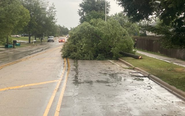
File photo – Downed trees in Will County/kk
The National Weather Service is confirming that a tornado hit the Chicago area earlier this week. An EF-0 tornado touched down in the Roselle area Monday as a supercell storm swept through the region. The funnel cloud packed winds of 80 miles per hour, but only tree damage was caused by the tornado. The storm led to power outages. As of last night, just over 63-hundred ComED customers remain without service.
-
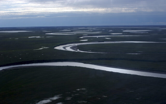
- A strong supercell thunderstorm moved over 100 miles from northeast Illinois to northwest Indiana in the late afternoon and evening (5:30-8:30 P.M.) of Monday, June 13.
- A wide swath of wind damage, some significant, occurred along the path of this storm, and an NWS Storm Damage Survey Team determined that some of the damage was consistent with scattered speeds of 75-95 mph. The survey team also found one tornado, an EF-0, occurred with a two mile path from Schaumburg to Roselle.
- Some of the most severe wind damage occurred in-between Schaumburg and Brookfield, including Roselle, Bellwood, and Westchester.
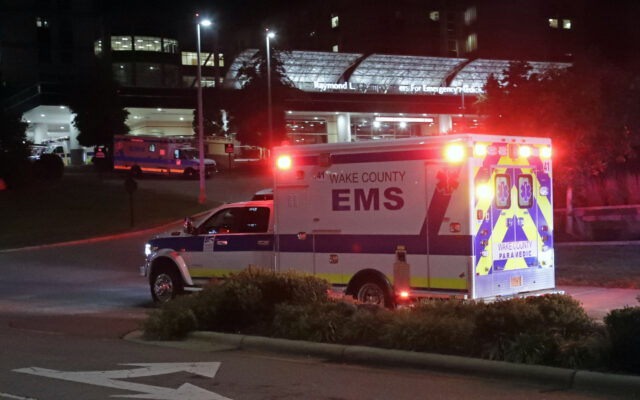
- At least hundreds of trees were downed or were damaged which also resulted in widespread power outages. There was some structural damage, including to small planes at Schaumburg Airport, and a roof partially blown off an apartment building in Bellwood where there were two injuries reported by local media.
- O’Hare Airport gusted to 84 mph and Midway airport to 69 mph with this storm.
- A Tornado Watch was issued at 5:50 P.M. for all of northeast Illinois and northwest Indiana, and multiple Tornado Warnings were issued for the storm as well.
- This supercell storm formed along a warm front at the periphery of a hot and very humid air mass that was spreading northward.
- This storm had an impressive depth, with a top over 60,000 ft based on data from multiple radars, and may have been over 65,000 ft to near 70,000 ft. Radar beam widths and heights at such a high elevation become very wide, so it’s difficult to say a specific height. No matter what, this storm was within the upper echelon of storm tops for mid-latitude, non-tropical thunderstorms.